Skip to content

Mission-Critical Intelligence When Every Second Counts.

Providing Federal, State, and Local Emergency Management Agencies with actionable aerial intelligence and FEMA-ready documentation. SDVOSB Certified | 24/7 Rapid Deployment Available.
Schedule a Priority Response Consultation. Capabilities Statement (SDVOSB)
Sdvosb logo
Mbe

Dbe
Faa certifed
.
Sba logo

Ronald Jarmon Bio:

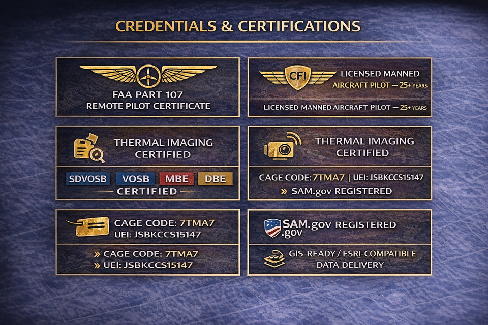
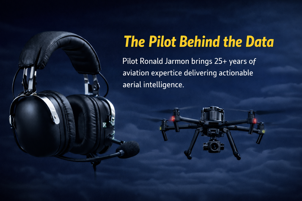
Ronald Jarmon is the founder of IA Aerial Photography, a nationally certified aerial intelligence firm based in the Florida Panhandle. His background spans over 25 years of aviation — as a licensed manned aircraft pilot, a Certified Flight Instructor (CFI), and now as an FAA Part 107 Remote Pilot operating at the leading edge of commercial UAS technology.

What sets Pilot Jarmon apart is not just the aircraft he flies — it is the depth of understanding he brings to every mission. Where other drone operators see a flight, Ronald sees a data capture operation with real project consequences. Where others deliver images, he delivers intelligence.

IA Aerial Photography was founded on the conviction that government agencies, construction firms, and commercial clients deserve more than pretty pictures. They deserve accurate, actionable, GIS-ready data delivered by someone who has spent a career understanding the standards, the stakes, and the airspace.
Summary  block
UEI: JSBKCCS15147 | CAGE Code: 7TMA7 | SDVOSB Certified | SAM.gov Registered
Pilot behind the data
CORE SERVICES:

High-Resolution Aerial Stills & 4K Video

Interior + Exterior Photography Packages

Twilight & Golden Hour Aerial Photography

Virtual Tour Integration

Land & Commercial Development Aerials

HOA & Multi-Family Property Documentation
"Secure your project's documentation from groundbreaking to ribbon-cutting. Our Annual Site Documentation Package delivers bi-weekly aerial captures, 3D progress models, and OAC-ready reports — all in one predictable investment."
When a site survey takes four days and your schedule takes four hours, something has to give. With IA Aerial Photography, your complete site can be mapped, modeled, and delivered in a fraction of the time — with precision that exceeds traditional ground-survey methods.

Our data isn’t just accurate. It’s actionable. Every file we deliver is formatted for your workflow — whether that’s Autodesk, Revit, Esri, or Nira.app. Zero file conversion. Zero lost time.

 
Request a Custom Site Assessment
'Most AEC clients find that one aerial survey pays for itself by catching a single planning conflict before it becomes a $50,000 change order.'